Tropical Storm Edouard is forecast to make landfall in Texas, bringing heavy rainfall and the potential for flash flooding to communities along the Gulf Coast, including parts of Louisiana, with impacts expected to begin Tuesday.
Tropical Storm Edouard is moving toward the Gulf Coast, with forecasters warning that the system could bring significant rainfall and flash flooding to parts of Texas and Louisiana starting Tuesday. The National Hurricane Center upgraded Edouard from a tropical depression late Monday, and the storm is expected to strengthen as it approaches landfall in Texas.
As of early Tuesday, Edouard was located about 65 miles south-southeast of Cameron, Louisiana, and 90 miles southeast of Port Arthur, Texas. The storm was moving west-northwest at 8 mph, with maximum sustained winds of 40 mph. Meteorologists anticipate that the greatest threat from Edouard will be heavy rain, with the potential for flash flooding in low-lying and urban areas.
Rainfall Totals and Flooding Concerns
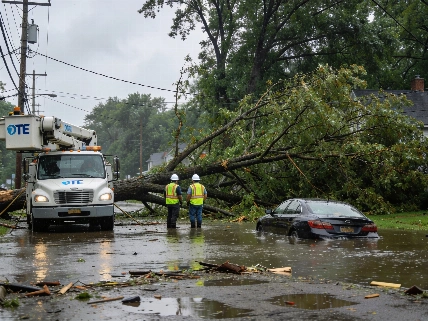
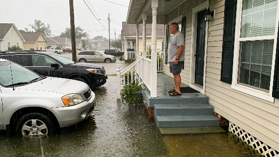
Forecasts call for 3 to 6 inches of rain across the greater Houston area, with some locations along the upper Texas coast possibly receiving up to 9 inches. Rainfall rates could exceed 4 inches per hour in some spots, increasing the risk of flash flooding, according to the National Hurricane Center. Texas Governor Greg Abbott noted that state and local agencies are preparing for the season's first major storm, emphasizing that flooding is the primary concern for residents and emergency responders.
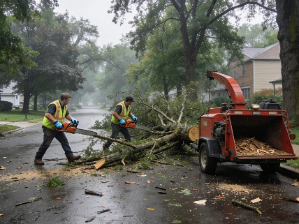
In anticipation of the storm, crews worked Monday to clear dry vegetation that could pose a fire risk if struck by lightning. Emergency management officials in Texas have stated that resources are in place to respond to both flooding and any secondary hazards that may arise as Edouard moves inland.
Regional Storm Activity and Broader Impacts
While Edouard is the immediate concern for the Gulf Coast, other tropical systems are active in the Atlantic and Pacific. The remnants of Tropical Storm Dolly have brought rain and thunderstorms to Haiti, the Dominican Republic, the Turks & Caicos, and the Bahamas. In the Pacific, Tropical Storm Lowell is located southeast of Hawaii and could intensify into a major hurricane by Wednesday, while Tropical Storm Marie has formed off the southwest coast of Mexico but is not expected to threaten land. Hurricane Karina, also in the Pacific, has strengthened to a Category 4 storm but remains far from any populated areas.
Communities along the Gulf Coast are being urged to monitor local weather updates and prepare for possible flooding. The National Hurricane Center continues to track Edouard's progress and will issue additional advisories as conditions change.
Emergency Preparedness and Local Response
Local governments and emergency management agencies in Texas and Louisiana are coordinating efforts to ensure public safety. Residents in flood-prone areas are encouraged to review evacuation routes and have emergency supplies ready. The response to Edouard reflects a broader trend of communities using data and local expertise to strengthen infrastructure and resilience against severe weather, as seen in recent efforts highlighted by local governments adapting to climate risks.
Officials will continue to monitor the situation as Edouard approaches, with updates expected throughout the day. Residents are advised to stay informed through official channels and heed any warnings or instructions from local authorities.