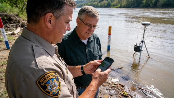
Missouri has launched a new mobile app and website to help residents and officials monitor flood and drought risks, offering real-time data, alerts, and predictions statewide. The project is funded by $10.4 million in federal relief.
Missouri residents and local officials now have access to a new statewide tool designed to make flood and drought information easier to understand and use. The Missouri Department of Natural Resources has launched a mobile app and website that provide real-time updates on flood conditions, drought status, and soil moisture across the state.
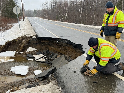
The new platforms were developed by the Missouri Hydrology Information Center in response to a series of severe weather events, including the historic 2019 floods and more recent flash flooding that caused significant damage and at least one death. The goal is to help communities better prepare for and respond to changing water conditions by making complex data more accessible.
Features and Functionality
The app and website allow users to monitor live flood conditions, receive short-term and five-day flood forecasts, and track drought and soil moisture levels. Built using Esri's ArcGIS Hub, the platforms offer customizable alerts and color-coded data to indicate the severity of conditions. Users can subscribe to push notifications for updates on changing flood risks in their area.
Data for the platforms comes from a network of state and federal sources, including the U.S. Geological Survey's 274 streamgages in Missouri and the National Oceanic and Atmospheric Administration's National Water Model. The system also incorporates information from local streamgages and soil moisture sensors installed throughout the state.
Recent Updates and Funding
Since its initial launch in April, the platforms have been updated to include boundaries and labels for Missouri's 93 state parks and historic sites. This addition is intended to help the Missouri Division of State Parks and emergency responders monitor flood risks more efficiently and coordinate responses during severe weather events.
The Hydrology Information Center's work is supported by $10.4 million in American Rescue Plan Act funds allocated in fiscal year 2023. The Department of Natural Resources continues to install additional gauges and sensors, focusing on areas with limited data or where local communities lack resources to purchase equipment. To date, approximately 47 new devices have been deployed to expand coverage.
Making Data Accessible for All
Officials say the platforms were intentionally designed to be user-friendly for both technical experts and the general public. The development team worked with Esri's symbology specialists to ensure that color codes and data displays are easy to interpret, regardless of a user's background. The aim is to set a standard for other states in making hydrology data more accessible and actionable for residents and decision-makers alike.
Missouri's new app and website represent a shift toward proactive disaster preparedness, giving communities and agencies the tools to monitor conditions and respond more effectively to future flood and drought events.
The Missouri Department of Natural Resources oversees the ongoing maintenance and expansion of the system. Residents and officials interested in using the new platforms can access them online or download the mobile app for real-time updates and alerts.
Missouri's approach reflects a broader trend among states to modernize emergency management tools and improve public access to critical environmental data. As more sensors are installed and the system expands, officials expect the platforms to play a key role in protecting communities from the impacts of severe weather and water-related disasters.