Meteorologists have reduced their predictions for the 2026 Atlantic hurricane season as a strong El Niño pattern develops, increasing the likelihood of fewer storms but not eliminating the risk of severe impacts along the U.S. coast.
As the 2026 Atlantic hurricane season nears its peak, meteorologists are scaling back their expectations for storm activity, citing the influence of a strengthening El Niño climate pattern. While the overall number of storms is now expected to be lower than initially forecast, experts caution that the risk of a damaging hurricane making landfall in the United States remains.
This week, AccuWeather revised its seasonal outlook, now projecting eight to 11 named storms, with three to four expected to reach hurricane strength and one to two likely to become major hurricanes. The agency previously anticipated 11 to 16 named storms for the season. The adjustment comes as confidence grows that El Niño will produce disruptive wind shear in the Atlantic, a factor known to suppress tropical storm development.
Updated Forecasts Reflect El Niño Impact
AccuWeather's updated forecast follows a similar move by the National Oceanic and Atmospheric Administration (NOAA), which recently lowered its own projections. NOAA now expects seven to 13 named storms, two to six hurricanes, and zero to two major hurricanes for 2026. The agency also raised the probability of a below-normal season to 75 percent, up from 55 percent in its earlier outlook.
El Niño, a climate pattern originating in the Pacific Ocean, can have far-reaching effects on global weather. In the Atlantic, it typically increases vertical wind shear, making it more difficult for tropical systems to organize and intensify. As a result, both AccuWeather and NOAA point to El Niño as the primary reason for the anticipated slowdown in storm activity this year.
Storm Activity Remains Possible Near U.S. Coast
Despite the quieter outlook, meteorologists emphasize that even a single hurricane can have significant consequences. As of August 19, only three tropical storms-Arthur, Bertha, and Cristobal-had formed in the Atlantic, with activity lagging behind historical averages. However, AccuWeather continues to identify the northern and eastern Gulf Coast and the Carolinas as regions with a higher-than-average risk of direct impacts this season.
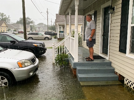
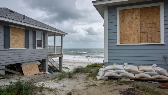
Experts also note that exceptionally warm waters near the U.S. coastline could allow storms that form close to land to strengthen rapidly. This means that while the overall number of storms may be lower, the potential for a dangerous hurricane making landfall remains a concern for coastal communities.
Current Conditions and Seasonal Timing
As of Friday afternoon, the National Hurricane Center was monitoring two areas of low pressure in the Atlantic basin, neither of which posed an immediate threat to Florida or the U.S. coast. Both systems were tracking away from land and had only a 20 percent chance of developing into tropical depressions or storms over the following week.
The climatological peak of the Atlantic hurricane season typically occurs around September 10, and tropical systems can continue to develop well into the fall. Meteorologists remind residents that some of the most destructive hurricanes in recent years, such as Helene and Milton in 2024, struck after the traditional peak period.
Seasonal forecasts provide an overview of expected activity but cannot predict where or when a specific storm might form or make landfall. The 1992 season, for example, produced only seven named storms, yet Hurricane Andrew became a Category 5 hurricane and caused catastrophic damage in South Florida.
Hurricane season outlooks are intended to help communities prepare, but officials stress that residents should remain vigilant and review their emergency plans, regardless of the projected number of storms.