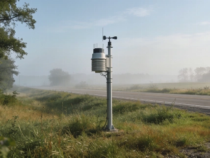

The National Weather Service warns of possible flash flooding in Hudson County Sunday night, with the highest risk in central and southern New Jersey. Up to half an inch of rain and gusty winds are forecast, and fog may linger into Monday morning
Residents in Hudson County, New Jersey, should prepare for heavy rainfall Sunday night, as the National Weather Service has issued a warning for possible flash flooding in the area. While the risk is expected to be lower in North Jersey compared to central and southern parts of the state, local forecasts call for up to half an inch of rain and wind gusts reaching 20 miles per hour.
The chance of precipitation Sunday night is 80 percent, according to the National Weather Service. These conditions could lead to localized flooding, especially in areas with poor drainage or near rivers and streams. Residents are encouraged to monitor weather updates and take precautions if they live in flood-prone neighborhoods.
Monday Morning Weather Outlook
After the overnight rain, Monday morning is expected to bring foggy conditions and the possibility of light rain. The National Weather Service also notes a chance of thunderstorms in the afternoon, though periods of sunshine are likely as the day progresses. High tide on the Hudson River in Hoboken and downtown Jersey City is forecast for 12:26 a.m. Monday, while Secaucus on the Hackensack River will see high tide around 1:01 a.m.
Staying Informed and Safe
To stay updated on changing weather conditions, residents can use local radar and weather tracking tools, including Accuweather Minutecast and the National Oceanic and Atmospheric Administration's resources. The National Weather Service provides real-time maps of watches and warnings for New Jersey counties, including Bergen, Essex, and Hudson. Air quality information is also available by entering your zip code on official monitoring sites.
For those concerned about river flooding, the National Weather Service offers a map showing potential flood risks across the United States. Residents are advised to check these resources regularly, especially during periods of heavy rain, to stay aware of any new advisories or warnings.
Flash flooding can occur quickly and with little warning. Local officials recommend avoiding flooded roadways, securing outdoor items, and preparing for possible travel delays. Those living near rivers or in low-lying areas should be especially cautious and consider moving vehicles to higher ground if flooding is likely.
The National Weather Service continues to monitor the situation and will issue updates as conditions change. Residents can sign up for local alerts and newsletters to receive timely information directly to their inbox.