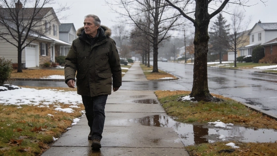
Connecticut is likely to see a warmer and wetter winter as forecasters predict a very strong El Niño for the 2026-27 season, with above-normal precipitation and temperatures expected across the state
Connecticut residents should prepare for a winter that could look different from recent years, as the National Weather Service has raised its confidence in a very strong El Niño climate pattern developing in the Pacific. According to the agency, there is a 90 percent chance that El Niño will reach significant strength during the 2026-27 fall and winter, with a 69 percent likelihood it could surpass any event recorded since 1950.
El Niño is already influencing weather patterns across the United States, but its effects vary by region. In Connecticut, the main impacts are expected to be warmer temperatures and increased precipitation during the core winter months.
Forecasts Point to Milder Temperatures
Seasonal outlooks from the National Oceanic and Atmospheric Administration (NOAA) indicate that Connecticut falls within a broad area of the northern and eastern U.S. where above-normal temperatures are favored from December through February. This trend covers all of New England, suggesting that the state may experience fewer prolonged cold spells than usual.
Private weather services, including OpenSnow, are also projecting a warmer winter for Connecticut. Their 2026-27 temperature maps place the state in a region expected to see above-average temperatures, which could mean less frequent opportunities for snow accumulation.
Precipitation and Snowfall Uncertainty
While NOAA's outlook gives Connecticut a 33% to 40% chance of above-normal precipitation for the winter months, this forecast includes all forms of precipitation-rain, snow, and mixed events. The actual amount of snowfall will depend on temperatures during individual storms, making it difficult to predict exactly how much snow will fall.
OpenSnow's projections suggest that much of the Northeast, including Connecticut, could see below-normal snowfall, while heavier snow is expected to shift toward the Southwest and southern Rockies. Strong El Niño years often bring an active southern storm track, but historically, cold Arctic air has a harder time reaching the northern U.S. during these events, reducing the likelihood of major snowstorms in Connecticut.
Regional and National Weather Patterns
El Niño's influence extends beyond Connecticut. The Southwest, Rockies, and nearby Plains are expected to be wetter than normal through early fall, while the Pacific Northwest may see hotter and drier conditions. The Great Lakes and Upper Midwest could also experience drier weather into late summer. Along the Atlantic and Gulf coasts, increased wind shear from El Niño typically suppresses hurricane activity, while the eastern and central Pacific become more favorable for tropical storms.
NOAA and private forecasters will continue to update their outlooks as the season approaches. Residents are encouraged to monitor official forecasts for the latest information on winter weather expectations and to prepare for a season that may bring more rain and less snow than usual.
El Niño is a recurring climate pattern characterized by warmer-than-average sea surface temperatures in the central and eastern Pacific Ocean. Its effects on North American weather can be significant, influencing temperature and precipitation patterns across the country. The National Weather Service and NOAA provide regular updates on seasonal outlooks, helping communities plan for potential changes in weather conditions.